
Atlas AI
A geospatial AI platform providing data-driven insights to monitor and forecast human and planetary changes for enterprises.
Atlas AI
A geospatial AI platform providing data-driven insights to monitor and forecast human and planetary changes for enterprises.
Atlas AI
SKU: atlas-ai
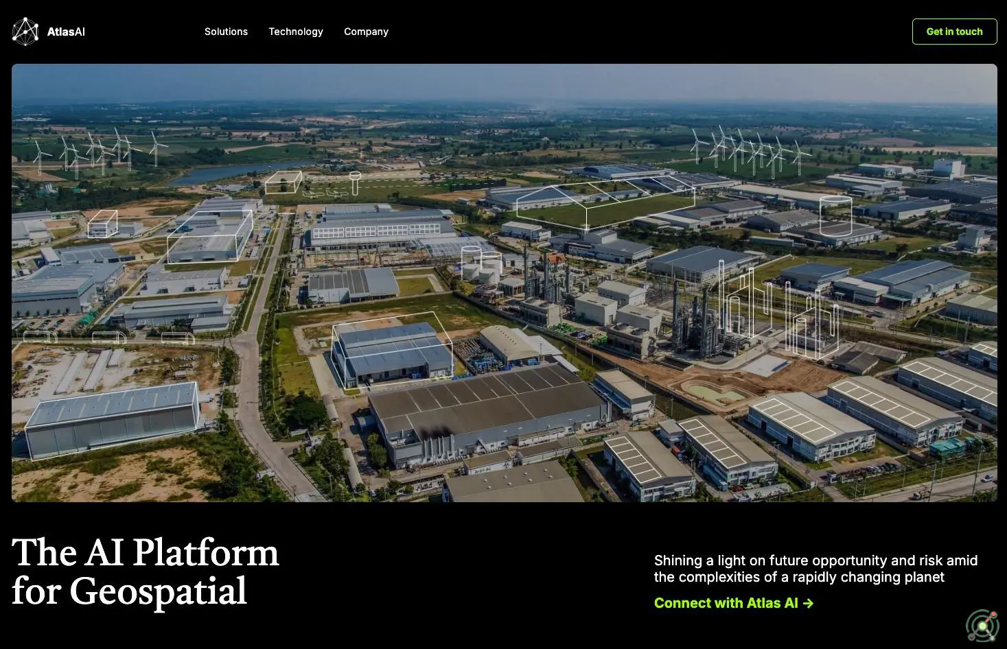
Atlas AI is a geospatial artificial intelligence platform that integrates proprietary data, analytical models, and tools to monitor and forecast human and planetary changes. By leveraging satellite imagery and other geospatial data, Atlas AI offers enterprises actionable insights into socioeconomic and environmental patterns, enabling informed decision-making in sectors such as agriculture, infrastructure, and economic development. The platform's comprehensive GeoAI stack facilitates the analysis of complex geospatial datasets, supporting applications like market segmentation, asset monitoring, and risk assessment.
geospatial intelligence
AI platform
socioeconomic monitoring
environmental forecasting
data analytics
Monitoring and forecasting socioeconomic development in emerging markets.
Analyzing geospatial data to inform infrastructure planning and investment.
Assessing environmental changes for sustainable resource management.
Segmenting markets and evaluating risks based on geospatial insights.
Atlas demonstrates Level 4 autonomy per the BotIQ Scale (advanced autonomy), operating without human intervention in dynamic industrial environments. It integrates vision, force, and proprioceptive sensors for real-time adaptability, handles shifting objects via machine learning models, and self-corrects errors autonomously. While capable of independent task execution in complex scenarios (e.g., automotive assembly lines), it lacks full human-like self-teaching capabilities required for Level 5 autonomy.
Closed Source
Paid